From LA, Orange, Riverside, San Bernardino and San Diego County, take the easiest route to the I-15 and follow it north through Cajon pass. Exit at Bear Valley Road and turn right. If you are coming from Barstow or Victorville come south on I-15, exit at Bear Valley road and turn left.
Go east on Bear Valley Road for about 10 miles, after passing the Apple Valley Plaza make a right at the traffic light on Central. Drive about 3 miles on Central, across a railway line and over a steep hill to Ocotillo Way. Turn left on Ocotillo and continue for 2.2 miles, starting on a paved road but turning into a dirt road, until you hit Bowen Ranch Road. Turn right and drive 6+ miles to Bowen Ranch.
Go east on Bear Valley Road for about 10 miles, after passing the Apple Valley Plaza make a right at the traffic light on Central. Drive about 3 miles on Central, across a railway line and over a steep hill to Ocotillo Way. Turn left on Ocotillo and continue for 2.2 miles, starting on a paved road but turning into a dirt road, until you hit Bowen Ranch Road. Turn right and drive 6+ miles to Bowen Ranch.

This is a winding road with blind curves, so drive carefully. After about a mile you will pass this ranch with a tire fence, a good indicator that you're on the right road. At any forks you should stay right and you will need to cross a cattle guard after four miles. The road becomes narrow shortly before you reach Bowen Ranch.
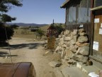
Bowen Ranch is a private property and the owner expects you to pay $5.00 per person per day and $10.00 for overnight camping. If the owner does not come to the door there are some envelopes and pencil on the steps for you to deposit your payment in the slot on the wall. Then continue down the road for another 0.5 miles to the parking lot. You will see signs of "No vehicles beyond this point".
The hike is just over 2 miles down to the springs and includes an elevation change of approximately 930 feet.

Look for the signs that mark the trailhead at the south end of the parking lot.
You going to be next to a fence that is private property, go down the trail.

Path down the hill
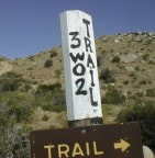
This is the marker at the end of the path down the hill. Go left on the road. Remember to follow the arrow on the marker on the way back, as this is where visitors most often get lost.

You will cross a dirt road where you may find some parked vehicles, this is the official USFS parking lot but you need a 4WD vehicle to reach it.
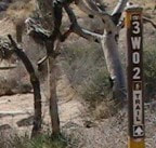
You will need to walk down the road for about 50 yards, the trail continues to your right through an opening in the fence, just before you reach the parking lot.
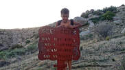
From here you are on National Forest Service land and the trail meanders down the canyon and is easy to follow.
From here you are on National Forest Service land and the trail meanders down the canyon and is easy to follow.
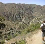
After a 1.5 mile hike, the springs are visible ahead and left.
After a 1.5 mile hike, the springs are visible ahead and left.
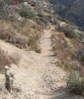
There will be a fork in the trail & both lead to the springs.
The fork to the left leads to a very steep decent and the right fork is a more gradual slope.
There will be a fork in the trail & both lead to the springs.
The fork to the left leads to a very steep decent and the right fork is a more gradual slope.
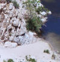
Follow this trail down to the bottom of the hill and then take one of the branches to your left to the little beach that exists where the trail meets the creek.
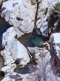
The hot springs are located on the other side of the creek.
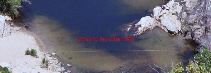 Cross to the other side for springs
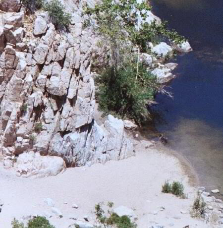
Some folks choose to leave all their stuff on the beach and cross over to the hot pools.
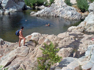
Others carry their stuff to the other side and choose a spot in the rocks or in the grass.
Others carry their stuff to the other side and choose a spot in the rocks or in the grass.
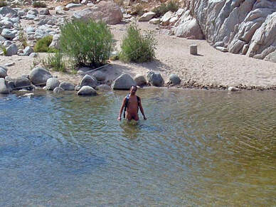
Wherever you choose to leave your stuff the easiest way to cross the creek is to remove your clothes and wade across.
Wherever you choose to leave your stuff the easiest way to cross the creek is to remove your clothes and wade across.
